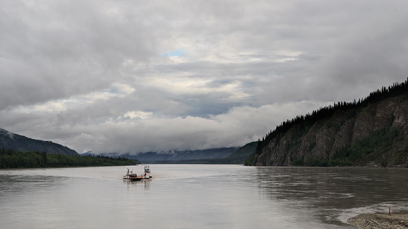
We left Dawson City via the Yukon Ferry. It runs 24 hours and is free, so how could we go wrong? If there are caravans on the road, it could take hours for all of them to cross, but we were fortunate that none were in town. The ride takes less than a half hour, but driving on and off the boat is tricky. There isn’t a permanent dock, so the ramps just let down on the dirt road and there’s a gap that can cause damage to the vehicles. Fred had to re-position his cargo box, Sally got some trim damage and our front trailer foot was slightly bent when we drove off the ferry.
We took some time to fix things and then started up the Top of the World Highway. That’s the name for the road from Dawson to Chicken, Alaska. It got its moniker from the how the trail follows along the three thousand foot mountain ridges.
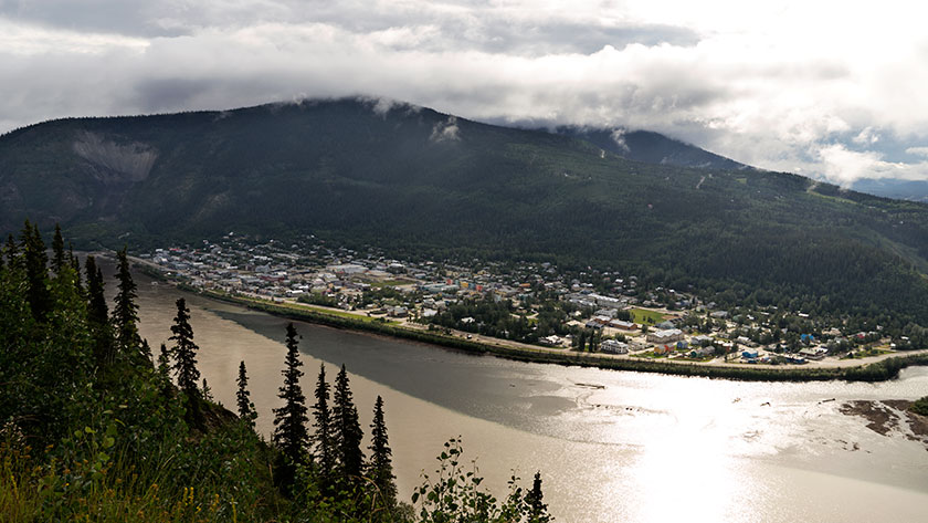
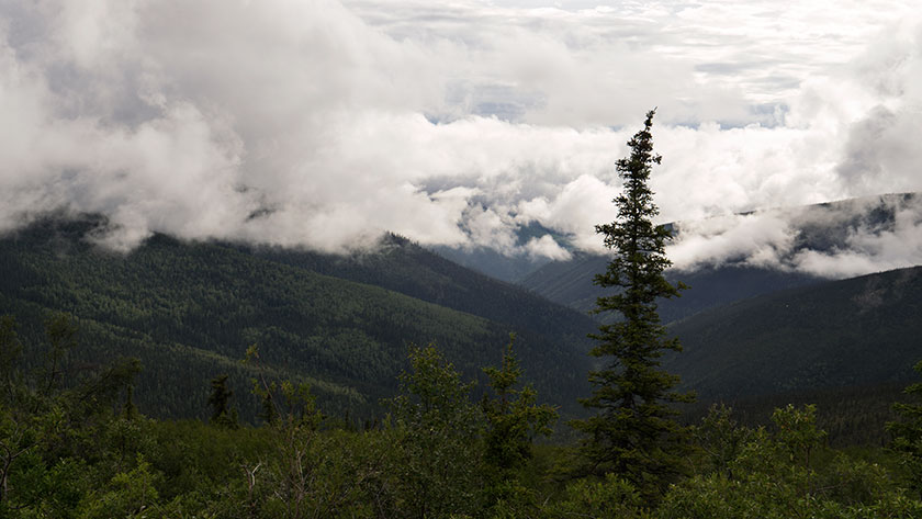
The road climbs steeply from the Yukon bank, past the golf course, and in our case, into the clouds. The views from the road I’m sure are both spectacular and scary at the same time. For us, it was raining, so we drove in and out of the clouds. Every once in a while, the clouds would lift revealing how steeply the mountains dropped into the valleys below us.
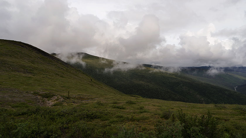
Other people warned us that the road was not the best, but we decided to press on regardless. The rain made the gravel base even worse, filling the pot holes and washboard ruts with mud. We drove like it was a slalom course, trying to find a smoother section.
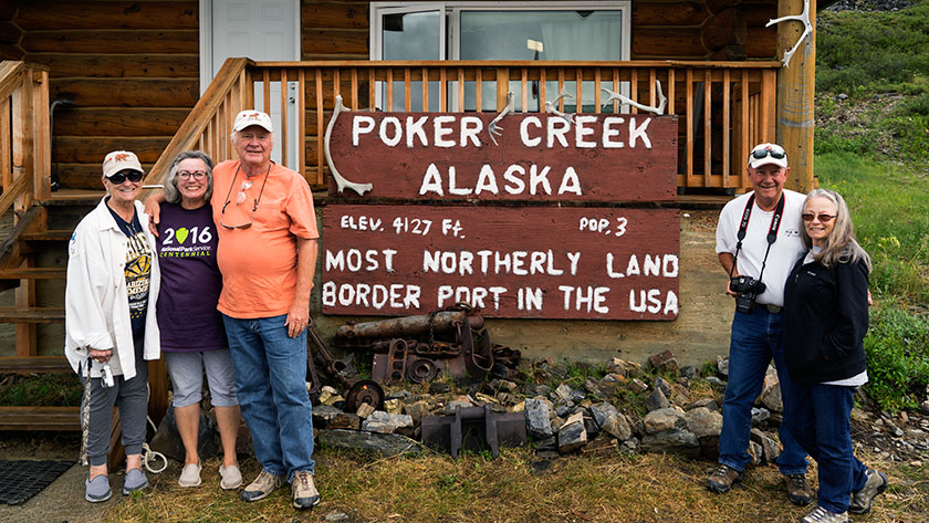
It was slow going, taking almost four hours to make the eighty mile journey to the border. After clearing customs, we started down the US side on brand new, shiny black pavement. It had bright yellow center lines with white lines down the edges. Our walkie-talkies were full of chatter about how much we loved this road, when about five miles later, it turned into . . . mud. Not gravel, just a plain old sloppy muddy road . . . with worse washboards and more pot holes.
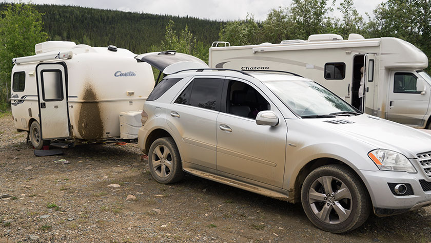
When we pulled into Chicken after another twenty miles, we got out of our vehicles and assessed the mess. The Ritz had two caked on mud stripes down the front that looked like skid marks. I had no idea how I was going to scrape that mess off, but by then, we just wanted to get in out of the rain and get something to eat.
jw

You know you could have visited Top-of-the-World without leaving Arizona, right?
https://en.wikipedia.org/wiki/Top-of-the-World,_Arizona
And the road to there is not only paved, but scenic, too!
JG
And just think of all the money that would have saved us.
jw