Buenos Dias, mi nombre es Diane Rockerhousen. My husband, John and I live in Xico (hee’ ko), a town of 30k nestled in the subtropical mountains of the state of Veracruz, Mexico. We retired here from Silverton, Oregon, and I’d like to share that story and a bit about our pueblo.
There are three little words that strike terror in the hearts of strong men, “I was thinking. . .” Usually, John slaps a pillow over his head to filter out my next sentence. Eleven years ago with retirement looming on the horizon it was time to write next chapter in our lives; a chapter that didn’t include a large home on an acre of land in rural Oregon, but something smaller, while still having a manageable landscape. First step was selling the house, so we put it on the market in 2007 and didn’t see results until five years later.
We had friends in Oregon that were from the state of Veracruz, and I asked if they had family in the capital city of Xalapa. Silly us, of course they had family there, so I got a one way ticket, and made an exploratory visit. I loved the family, the environs, the climate, and the economy (in our favor), which resulted in us renting a house and beginning the process of moving nearly 3,000 miles south.
Why Mexico? Since John and I had traveled the US and Canada to our satisfaction, we decided to complete the North American trifecta, and head south for a new adventure. Not a day goes by that we aren’t thoroughly confused, entertained or ask ourselves, “Why in hell did we bring that?” After several years of settling in, we’re still happy with our decision. It more than meets our wants and needs
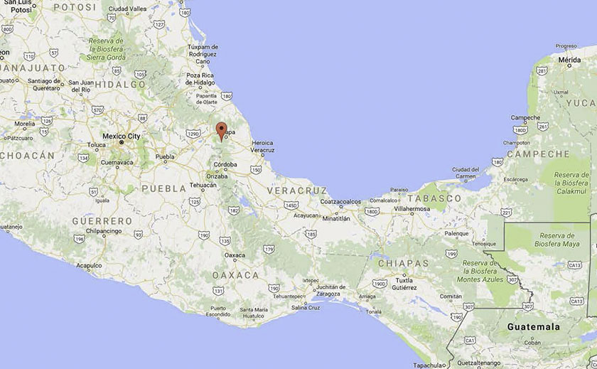
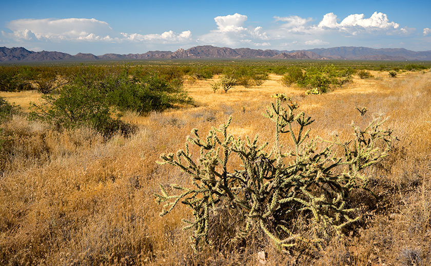
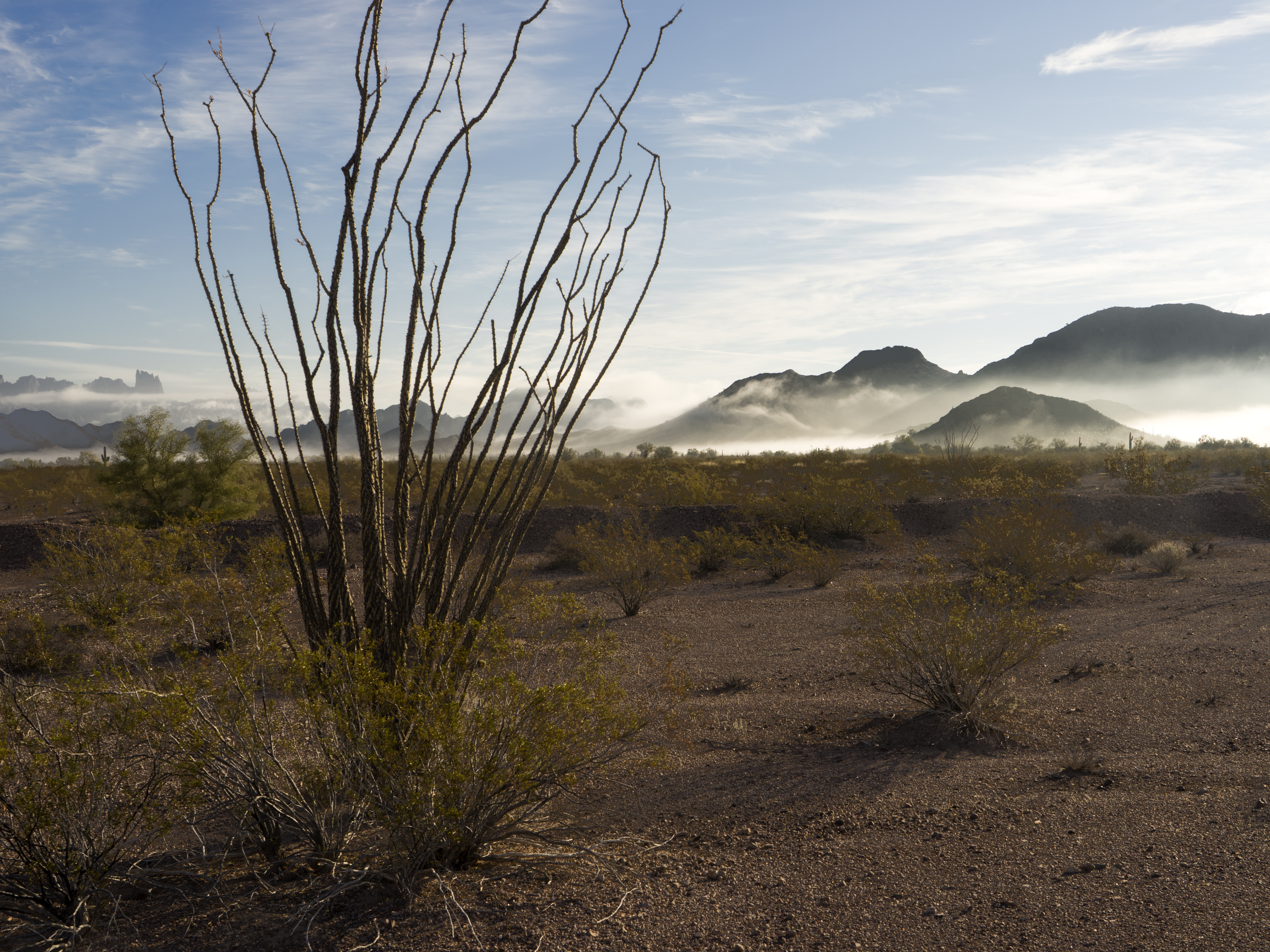
Our pueblo is at the altitude of 4300 feet with an average temperature of 73°F and 66 inches of annual rainfall. It sits nearly midway between Mexico City and the port of Heroica Veracruz on the Gulf Coast.
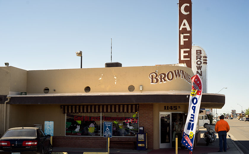
This area of Veracruz produces a large crop of Arabica coffee that is shipped worldwide. Along with a variety of fruits and vegetables, our pueblo is known for its famous mole sauce (chilies, nuts, fruits and chocolate). If you shop Costco there is a brand named Xiqueno Mole in a jar that our town produces. Allow me to give you a brief tour around the state of Veracruz.
Papantla, Veracruz, Mexico (Latitude: 20.4465500 Longitude: -97.3249500)
Back in the early 1500’s when Moctesuma (A Spanish spelling variation of Montezuma-ed.) invited Hernan Cortez for a chat, the host served up a chocolate drink with a new flavor that the Spaniard had never tasted. Wanting to impress his guest and possibly keep his head, the Chief shared his secret ingredient . . . vanilla. To anyone’s knowledge then, it only grew in one place, Papantla, and was cultivated by the indigenous community of Totonacas. After years of pillaging and conquering, the Spaniards included some beans and vanilla orchid vines (vanilla panifolia) on their return voyage to Spain. The globe-trotting Spaniards were so enamored with the flavor they tried unsuccessfully to grow it in Asia and then Africa. Many expeditions later they discovered that a small indigenous bee (melipona) was the pollinator and only existed in Papantla. There are stories of entrepreneurs (priests) that built green houses with perfect growing conditions so when the orchids bloomed for only one morning per year, young nubile virgins with feather dusters would go from plant to plant pollinating.
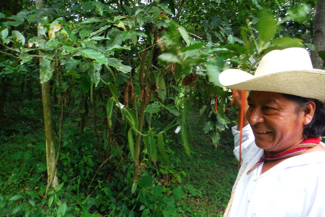
This man is a native Totonaca who was our guide through the natural orchid forest where you feel a part of the process of providing a product that gives pleasure to so many. The long green beans are the vanilla pods that take 9 months to mature. After harvesting they’re placed in the sun to reduce moisture until they are a mahogany brown and aromatic. At the end of the tour he touches your shoulder to give a Totonac blessing; it is truly a magical place to visit.
El Tajin Pyramid Site
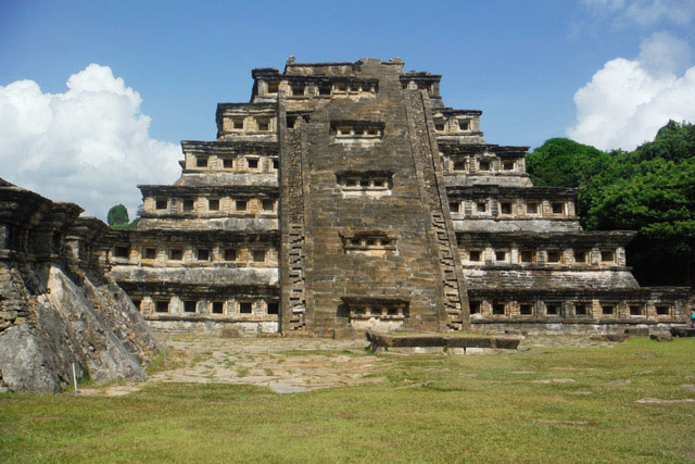
El Tajin (600 to 1200 C.E.) is a World Heritage site since 1992, due to its cultural importance and its architecture. This architecture includes the use of decorative niches and cement in forms unknown in the rest of Mesoamerica. The pyramid of the niches has 365 “caves” representing the solar year with a direct connection to the underworld. Similar to post office boxes where you drop off your requests, then wait for the results, good or bad. As a side note, above one of the niches is a sculpture of a ceremony with a cacao tree included, leading historians to believe that the Totonacas created the chocolate/vanilla beverage that the Aztecs prized. The pyramids show evidence that many floors were of poured cement, up to a meter thick and perfectly flat.
The Voladores
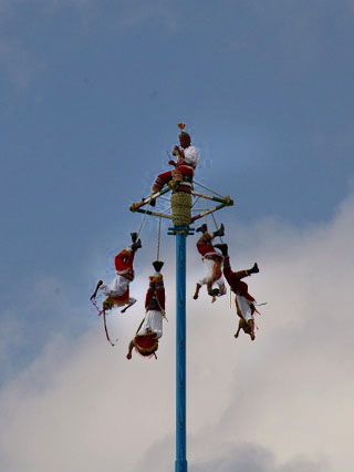
The Totonacs created a dance team called The Voladores (flyers or bird-men) as a plea for rain during a particular extended drought. The pole is 150 ft high with a square platform top where a flutist stands tooting while the dancers attach themselves by the ankles to ropes intertwined to the platform. Once the team commits to fall off the platform backwards the slow descent begins, unwinding the ropes while twirling through space with outstretched arms to a successful landing in front of an always appreciative audience that releases a collective sigh of relief that all is back to normal.
In March there is a festival celebrating the Spring Equinox (Cumbre Tajin) that is famous for its spiritual environment, bringing together a broad collection of artists and musicians. It’s the perfect place for finding life-balance for the New Year. Here is a Web Site that tells more about the festival: https://www.cumbretajin.com/
I hope you enjoyed my tour of our little corner of the world as much as I enjoyed writing it. Perhaps I can add to the story as I discover more secrets of Veracruz.
Diane