Mother Nature is ruthless. It’s not that she has a vendetta against humans, after all, we’re natural too. We have a place in her scheme of things, but to her, we’re just ants on her sidewalk and stepping—or not stepping—on us doesn’t cross her mind. She has more important things to worry about. It’s our job to stay out of her way.

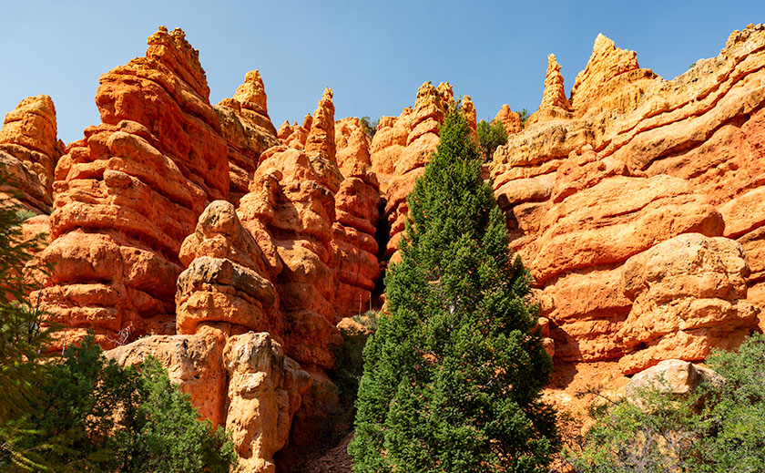
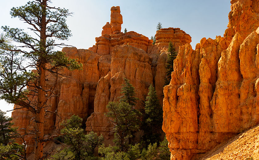
For the last couple of days we’ve hiked in Red Canyon—the first natural feature you pass when traveling east on Utah’s State Route 12. Red Canyon isn’t an official national or state park, but because it’s in the Dixie National Forest, the Department of Agriculture maintains a visitor center there. It’s Bryce Canyon’s foyer. The rocks are slightly redder and tourists traveling to Bryce stop to gawk and take pictures. When they built the road, the crews drilled two tunnels through the sandstone cliffs and that’s another cool thing about the canyon.
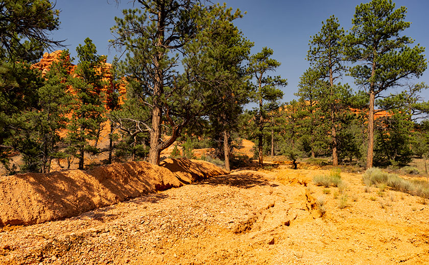
The Forest Service also maintains trails that wander through the pinnacles, and on our visit, Anne and I stopped at the center to select a trail that was suitable for a couple of old codgers. “Oh the trails have all been wiped out by the big thunderstorm we had last week,” the ranger told us. Well … she wasn’t really a ranger, but she had a yellow uniform on and sat behind the information counter. The storm that she referred to dumped 1.75 inches in 20 minutes resulting in flash floods that ripped up the parking lot, bike path, and some of the road. The rushing water threatened to damage the visitor center and restrooms but didn’t. When we drove in, the parking lot was stained red from the mud that a Bobcat scraped off, so we knew we missed the big mess.

With persistence, we asked what options we had to hike among the rocks and take some photographs before she finally relented and provided us with a trail map. “This is the Pink Cliffs trail. It’s mostly intact on the east side, but people are getting lost on the west section of the loop. If you have trouble finding the trail, turn around and retrace your steps.” With that Anne and I set off for a short half-mile hike among the hoodoos.
Following the trail wasn’t our problem. We had trouble finding the trail’s beginning. We walked across the parking lot to where the trailhead was and found the flood’s debris field. We made a couple of attempted starts. We walked up paths that could have been a trail including the debris field—which was fun because the field was one-inch sandstone chips. They were triangular and gave way as you stepped on them—like walking on a sand dune. I fell once when the loose rock gave way but as I fell I managed to grab a dead tree branch to stop my slide.
Anne found the trail and she called for me to come down and showed another group of lost hikers where it was. When I met up with her, we started along the real trail. There were places where water interrupted the trail, but you could pick out the other side once you understood what to look for. We spent an hour hiking with me happily snapping pictures and Anne grumbling the whole time. We even managed to navigate the dreaded west side although Anne fell on her butt once. It was when we got back to the parking lot that I realized that my lens hood fell off, and I knew where. This time Anne waited in the truck while I returned to the site where I fell on the talus slope. I managed to find my hood and while I was there, I gave the tree a hug.

Did I mention that I did the hike twice? I had to because when we got back to camp, there was nothing on my memory card. No photos at all. I was upset but decided to go back for a re-shoot. I did that yesterday and had no problem finding or following the trail at all. I finished the hike in 45 minutes and that’s stopping to shoot everything again. I even took a picture of the spot where Anne fell and dented the ground. After I got back to the truck, I put the memory card in place for safekeeping. And that’s how the dog ate my homework and this blog is late.
Until next time — jw
