Sedona is the most romantic town in Arizona. Don’t believe me? Just watch the Social Sound Off question on the evening news. Each evening, they ask a trivia question about Arizona. The news people get lists from internet sites or magazines about the most popular places for something or another. If the question is about tourism or travel, the answer is either the Grand Canyon or Sedona. The romance question was a recent topic and—you guessed it—Sedona was the answer. For more evidence linking the Red Rock Country to lovers, try booking a hotel room in Sedona for Valentine’s Day. The closest room you’re likely to find is in Eloy.
It’s been over a decade since I last visited Sedona and all of the changes shocked me. Gone is the quiet dusty little creek-side town nestled in Oak Creek Canyon. Back then, there were the usual galleries, jewelry, and souvenir stores in the village, but now it looks like Scottsdale or Newport Beach. The single traffic light has been replaced with dozens of traffic circles. With its limited space and water supply, Sedona has always been the place we loved to death and surely it’s now ready for hospice care.
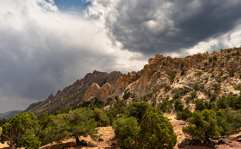
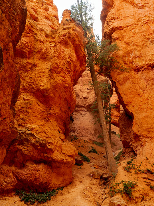
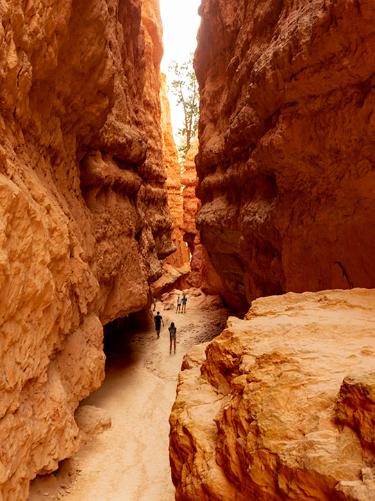
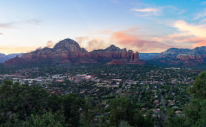
As a photographer, I’ve been frustrated when shooting there. When you’re trying to get a shot that tells the town’s story, you’re thinking about red rocks, Oak Creek, and the old sycamore trees. You can get that shot at Red Rock Crossing State Park and virtually every photographer has it in his or her portfolio. On this visit, I wanted something different to photograph, so I did a bit of exploring. I hiked a short trail in Boynton Canyon and I ended my day on top of Airport Mesa.
I hung around after sunset until the crowd left—there’s a dedicated parking lot for this viewpoint and people pay three-bucks a car, who knew? I wanted the town dark but have Capitol Butte lit with the soft residual light in the western sky, so I waited until the town lights began to come on.
I believe that I got a different interpretation of this familiar view. I called this image Capitol Butte after the red-rock feature towering over the village. It shows how packed the dwellings are between the rock formations that draw so many people from around the world. I like the contrast of the orderly north-south-east-west streets within a so-called nature setting. When I look at this image, I see a tribe of millionaire-Bedouins camped for the night around the waterhole.
You can see a larger version of Capitol Butte on its Web Page by clicking here. I hope you enjoy viewing this week’s post and come back next week when we’ll show more from Sedona.
Until next time — jw