Our home in Congress is on a scenic byway. Each weekend, lines of exotic sports cars and motorcycles pass by our trailer park to prove it. Several roads, like AZ 89, in our state offer motorsports enthusiasts a venue to stretch the legs of their beloved machines. I’m sure that the other states have roads like ours. I’m surprised someone hasn’t compiled an encyclopedia of “The World’s Great Weekend Roadtrips.”
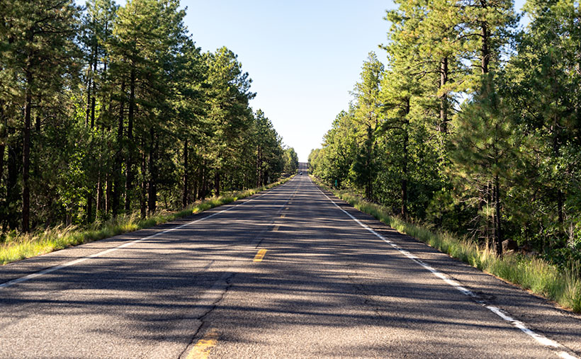
The route passing our home is known as the back road to Prescott because it avoids the weekend traffic on Interstate 17. It’s a longer drive, but that’s not the point. I think this passion is best described in Queen’s song; I’m in love with my car. “. . . get a grip on my boy-racer roll bar…” (Yes, Virginia, Queen recorded songs other than Bohemian Rhapsody). It’s customary to play this anthem at full volume with the top down and the sun flickering through the pines onto your Ray-Bans.
There are actually two ways to get to Prescott from here. The first is to stay on ’89 and drive between the Sierra Prieta and Bradshaw Mountains. The motor-heads like this way because they get to test those big Brembo brakes on their Lamborghinis. This way, it is challenging to keep up with the speed limit; you’re up in the pines quicker, and the road dumps you onto Whisky Row, where everyone parks around the courthouse for an impromptu car show.
The second option is better if you tow a trailer, haul a load of eggs from Costco, or try to keep Queen Anne from throwing up in your lap. To go this way, you turn off at Kirkland Junction and pick up Yavapai County Route 10—Iron Springs Road. This route is more docile as you travel through Kirkland, Skull Valley, and Iron Springs, although it’s a bit trickier to find your way downtown once you get to Prescott.
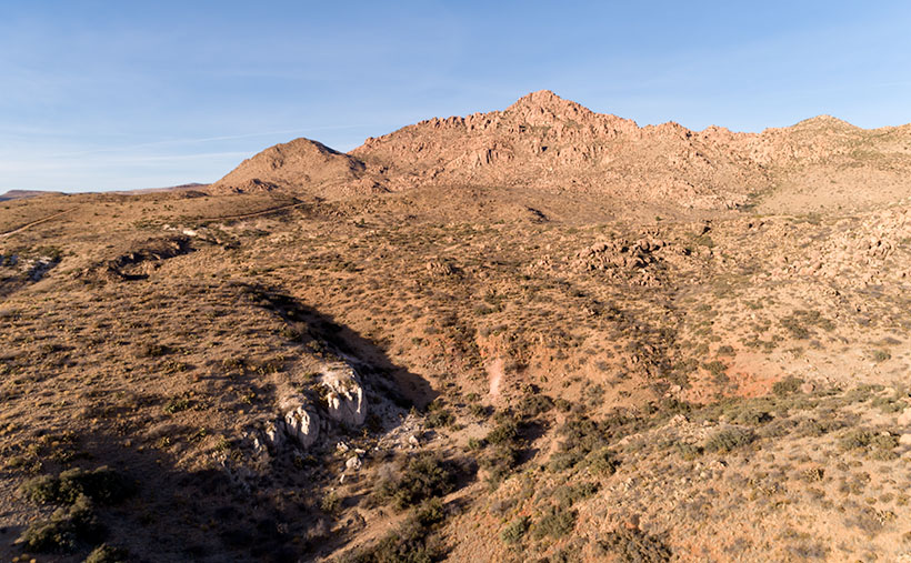
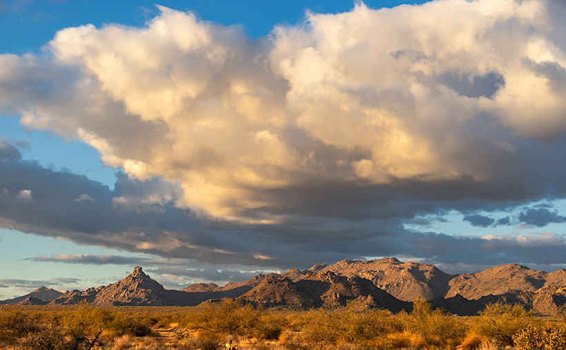
On this second route, you’ll see the subject of this week’s featured image—Kirkland Peak. The rocky mountain will fill your windshield at the Kirkland stop sign. There’s even a better view if you drive straight and cross the tracks. But right now, we’re going to turn right onto Iron Springs Road toward Prescott because there’s something else I want you to see.
Soon after leaving the junction, CR 10 follows the railroad tracks and Skull Valley Wash, filled with cottonwood trees. In this section, between Kirkland and Skull Valley, there is a cluster of limestone hoodoos where the granite top layer has been eroded. I’ve tried to photograph the outcrops on several occasions, but telephone lines and private property frustrated me. When I visited last week, a new mine began setting up operations, and they scraped the land clean. There are two new five-story silos built beside the road, and I’m afraid that the remaining hoodoos will be gone shortly.
When I drove up to shoot Kirkland Peak this week, I was pleased to find where the mountain’s runoff has exposed more limestone, as seen in this week’s picture, called Kirkland Peak. There are eons of geology exposed in this photo. The bottom layer is an ancient lake or sea bed, covered by granite (lava cooled slowly), and a mountain thrust above it. The evidence of up-thrust is in the grain of its rocks along the ridgeline (you can’t see that on your phone). As Kelly Bundy said, “The mind wobbles.”
Click here to see a larger version of Kirkland Peak on its website. Next week, I’ll bring you another image from our corner of the world.
Until next time — jw

