Traveling west from Oatman, on the old Route 66, it’s only a couple of miles before the Black Mountains fill the rearview mirror. The Mohave Valley sprawls beyond the truck hood, and the road descends the talus slope to the river. There aren’t any signs here, but the beautiful view takes in three states. Arizona stops at the river, of course, but beyond the blue water, California is on the truck’s south side while Nevada is to the right.
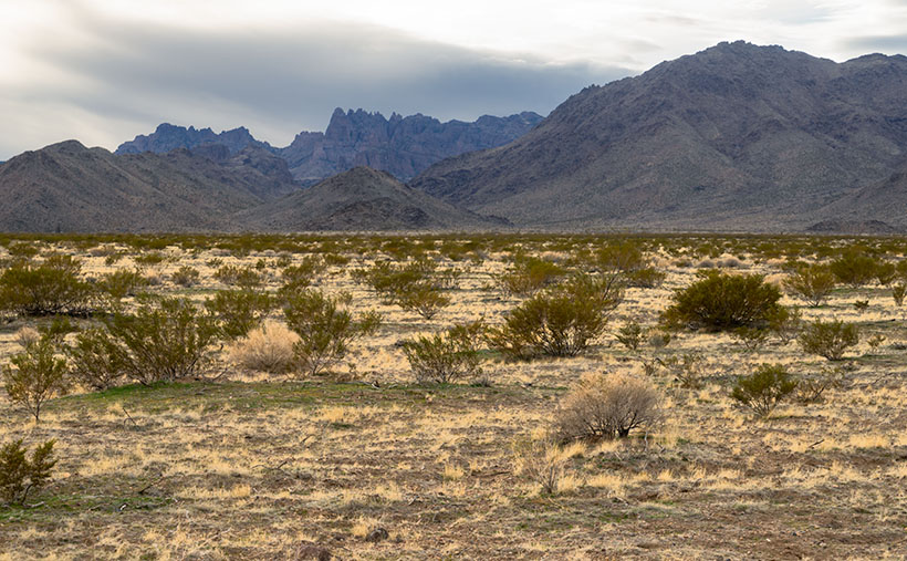
The highway passes a rounded cone that resembles the hat style worn by the Seven Dwarves. The road has a fork here, and if your destination is Bullhead City, then go straight. But, the left fork is our historic road, and it leads south to the freeway and railroad bridges at Topock Marsh. We’re not done with the mountains yet because—for most of the way— the Warm Springs Wilderness is outside of the driver’s side window.
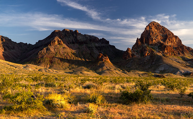
The Black Mountains in Mohave Country always delight me. There’s a lot in them to photograph. I understand why chunks of them have been set aside as wilderness areas. I could spend years exploring and capturing their beauty on film. As an aging dotard, however, I need my truck to do that. I’m intrigued about the new riding drones that police departments are buying. They look like a motorcycle with four propellers strapped to the sides (like in this Dubai video). One of you needs to come up with the money to buy me one. With my luck, however, I’d fall off into one of the blades and become sliced salami. Besides, the government doesn’t allow drones in wilderness areas (national parks, wildlife preserves, or recreation areas). What’s that old saying? “I would have taken better care of myself if I knew that I was going to live this long.” Why did we ever laugh at Jack LaLanne?
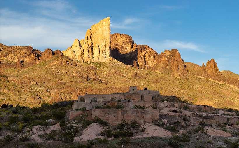
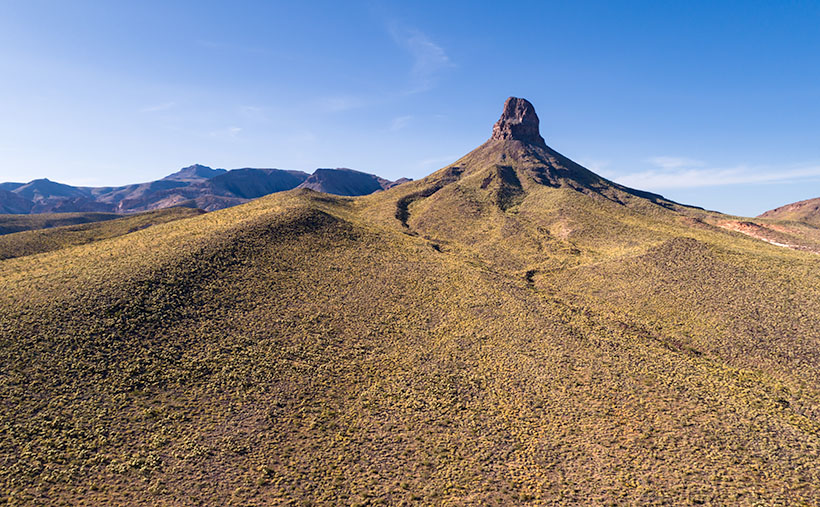
This week’s featured image was a call at the line—sorry for the sports metaphor. I had another picture picked out, and already published, but when I started researching the area, the image that I call Boundary Cone has a better story. The 4000’ peak sticks out like a sore thumb from anywhere in the valley. The Mohave Indians consider it sacred, and it is the center of their homeland. Imagine how upset they were when miners started digging at it.
Coincidently, if you could walk from Boundary Cone due west to the middle of the Colorado River, and then north for a couple of hundred yards, you would be standing—or swimming—in Arizona, California, and Nevada at the same time. Just like people do at Four Corners, and nobody would charge you (I sincerely think people would pay to see that). The actual point where the three states meet is the intersection of the 35th parallel and the Colorado River. But, I think it’s cool that you can tell which state you’re in by glancing at Boundary Cone without getting wet.
You can see a larger version of Boundary Cone on its Web Page by clicking here. I hope you enjoy it. Next week, we’ll continue our Route 66 journey to the freeway. I hope you’ll join us then.
Until next time — jw