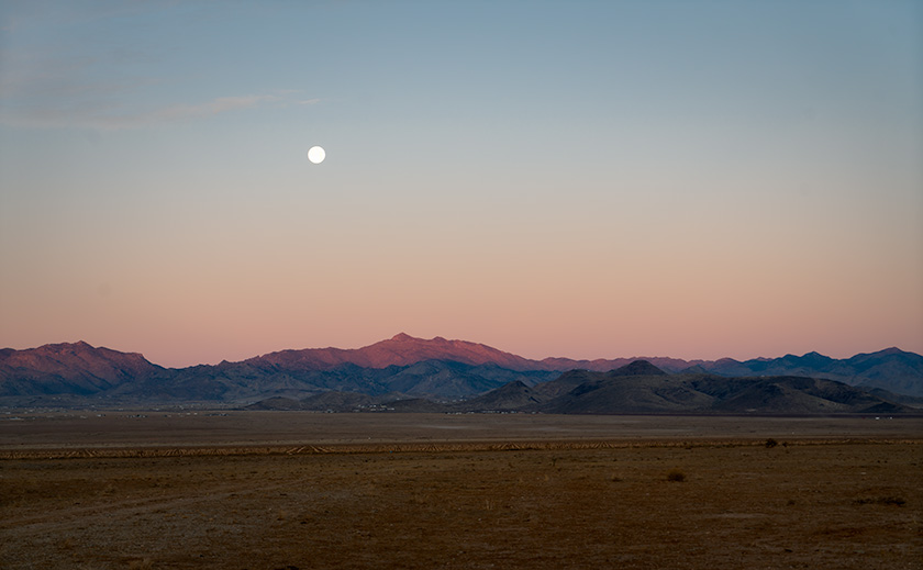
We never go anywhere on weekends. That’s when the amateurs are out. The motorcycle packs, the sports car clubs, the families with kids screaming in the back seat, and snacks flying like confetti. No thanks. Let the Porsches and Ferraris do their canyon-carving in peace. We leave the weekends to the unwashed.
Thursdays, though? Thursdays are for dump runs—and that’s when we roam.
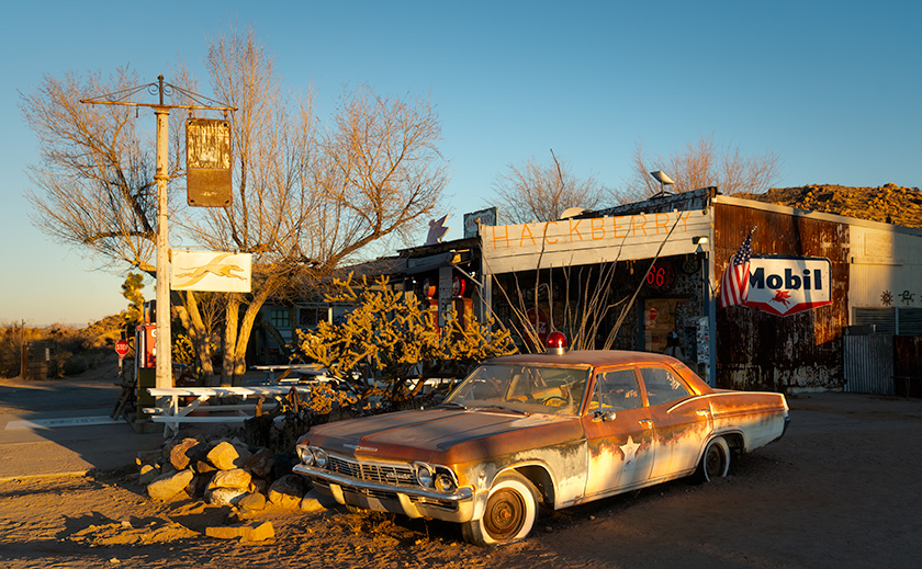
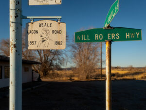
The routine goes like this: Load up the garbage, swing by the transfer station in Congress, then treat ourselves to breakfast somewhere along the highway. We keep it varied—Nichols West, Denny’s, Spurs, sometimes the Ranch House up in Yarnell. It’s all part of the plan to stay married: don’t talk politics, take separate naps, and never eat at the same restaurant two Thursdays in a row.
This time, I suggested the Ranch House.
“You want to go up the hill?” Anne asked.
“Sure. Want to stop at an antique store and relive your childhood?”
She rolled her eyes. “You do realize you’ll always be older than me, right?”
Touché.
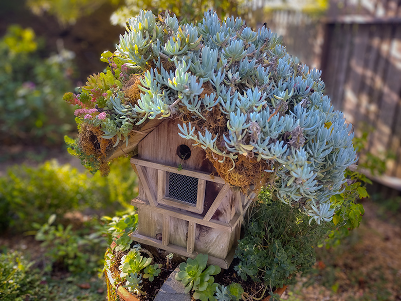
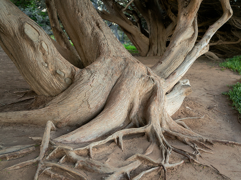
We pulled off on Yarnell’s main drag and parked in front of one of those shops where everything smells like mothballs and linseed oil. I did my usual speed-run through the front room—scouting for old highway signs, dented milk cans, and that glass-cased assay scale I’ve always wanted for the mantle over the fireplace.
We’ve never had a fireplace. Or a mantle. Still, a guy can dream.
Anne, meanwhile, made a beeline for the antique jewelry cabinet and stopped cold. She wasn’t browsing—she was studying. Staring. Like a metal detector had gone off inside her chest. I wandered over and peered into the case, expecting the usual lineup of clip-on earrings and tarnished trinkets.
What I saw was… different.
Resting side by side on a velvet pad were two thick bands—bracelets, technically, but only if you define bracelets as metal cylinders with the attitude of ancient armor. They weren’t polished exactly, but they had a sheen, like copper dreaming of gold. Or maybe gold pretending to be copper. Either way, they weren’t any metal I could name.
Each band was the size and shape of a man’s shirt cuff. Too big and blocky to be called elegant, too perfectly formed to be junk. Dead center on each one, there was a raised “W”—not stamped, not etched, but embossed with such confidence that it looked like the symbol had formed first, and the bracelet had grown around it. “W for Witkowski,” she said, deadpan, like they’d been waiting for us.
“They probably wouldn’t even fit me,” I said, trying to sound indifferent.
Anne slid one over her wrist. Then the other.
They slipped on easily, like she’d worn them for years. A perfect fit. And then—this may have been the lighting, or my imagination—they shrank ever so slightly. Not tight, but exact. Like a pair of Levi’s straight out of the dryer, molding themselves to her mood.
She didn’t say anything. Just raised one eyebrow and gave me that look.
That “you have no idea what you’ve just started” look.
“They’re five bucks,” I said, which answered nobody’s question. But I paid the clerk and figured we’d add them to the costume drawer.
The thing is, she started wearing them—a lot.
No green skin. No tarnish. Just… a shift.
A little taller. Shoulders back. Chin lifted. Nothing dramatic—just the kind of change you’d notice if you’ve been married a long time and still pay attention.
Then, one afternoon, she goes out to pick up a gallon of milk and drop off a box at Goodwill. Comes home with a pair of bright red riding boots—leather, laced all the way up the front like something you’d see on a circus performer or a traffic cop from the future.
“They were in the window. I couldn’t believe how comfortable they are,” she said, practically glowing.
“You don’t wear lace-up anything,” I said. “You can’t bend over far enough to tie your shoes.”
She slipped one boot off and back on again without breaking eye contact. “I can these.”
The Sundad Shift
Ever since Anne put on those bracelets from the Yarnell antique shop, she hasn’t been quite the same. Normally, on our road trips, she falls asleep somewhere between the pavement and the first cattle guard. While I bounce down dirt roads rattling off local trivia to no one in particular, she’s usually in the passenger seat with her Kindle, tuned out and unimpressed.
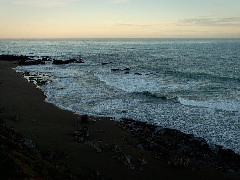
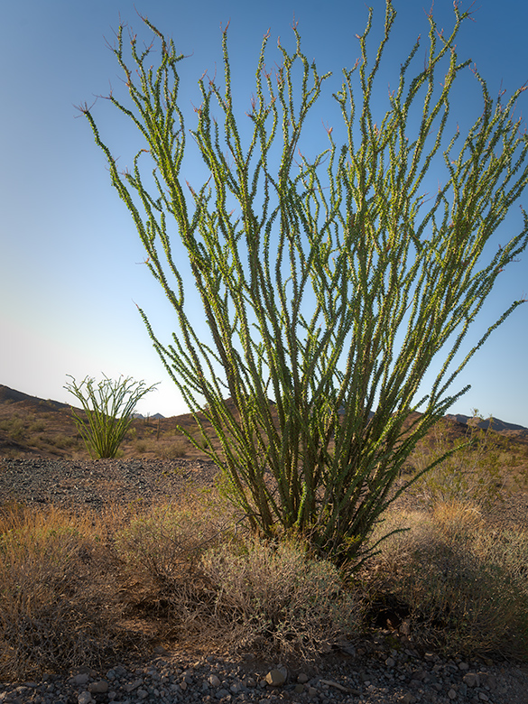
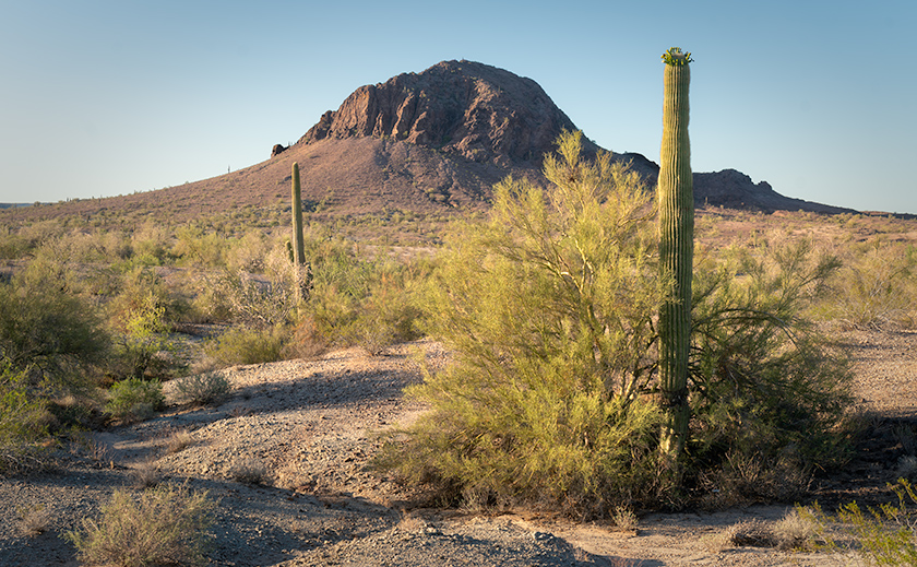
But on our trip to Sundad, something changed. She stayed awake the entire drive down Agua Caliente Road, asking questions about the ghost town, the mountains, the rail lines, even the geology—which, let’s be honest, is usually where I lose people. She seemed genuinely interested, like she was trying to see the landscape through a different set of eyes.
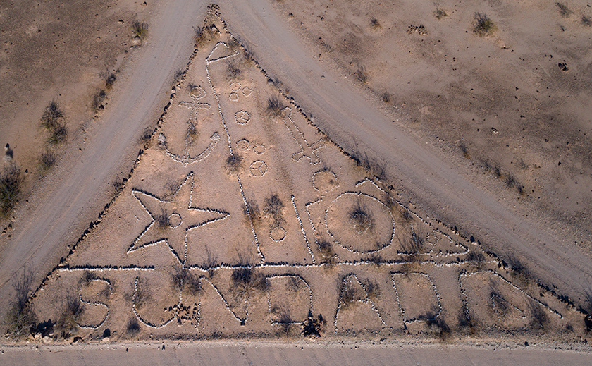
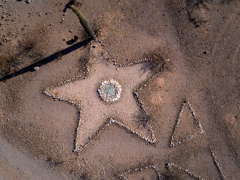
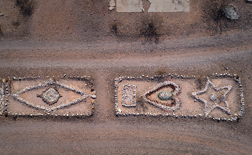
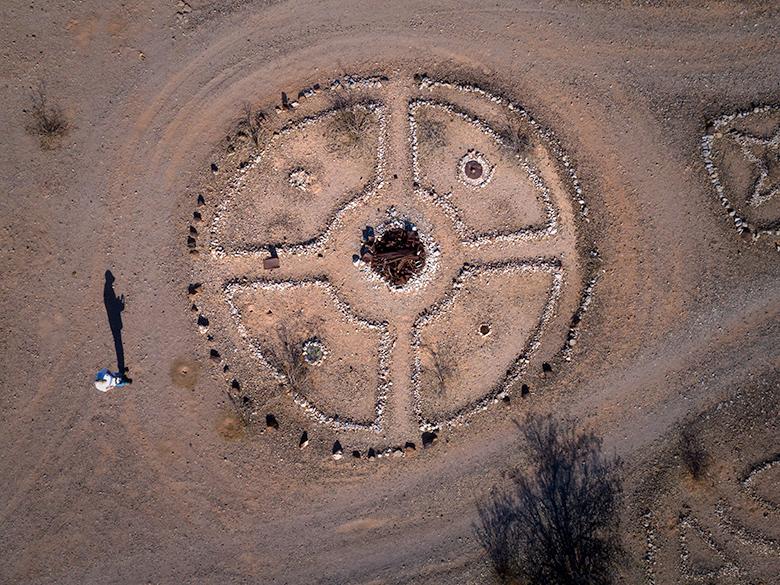
When we got to the townsite, she walked with me—actually walked, not just posed for a photo and retreated to the air conditioning. She examined the shapes in the rocks, ran her hands over crumbled cement, and even spotted a few relics I’d missed. When I flew the drone, she guided the shot like a director on set. “Get this one. Don’t forget the star over there.”
She wasn’t a passenger anymore—she was a partner.
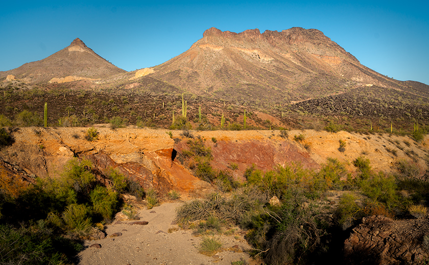
On the way home, the late-afternoon light was perfect—the kind of desert gold that makes every rock look important. Our first stop was the bridge over Cooper Wash. I was pacing back and forth, trying to line up the perfect angle of Face Mountain and Montezuma Head, when I noticed Anne had wandered off.
Without warning, she put her left hand on top of the guardrail and vaulted both legs over like she was auditioning for the Olympic team. I watched—stunned—as she cleared the rail, dropped ten feet into the sandy wash below, and stuck the landing like Simone Biles… if Simone Biles had titanium knee replacements and a mild disapproval of authority.
I rushed forward, expecting to see a puff of dust and a regretful groan. Instead, she was already walking—calmly—toward the red clay wall like she knew something was waiting there.
“Anne!” I yelled, expecting a limp or at least a groan. She didn’t even look up. Just started walking toward the exposed red clay on the far bank.
She stopped, crouched, and brushed away some dirt. Then she reached into the wall, as if it were Tupperware, and pulled something out.
When she climbed back up, she held it out for me to see. It was a thin metal plate—copper or brass, about the size of a playing card. The edges were worn, and its surface was etched with strange angular markings.
“What is it?” I asked.
She turned it in her hand, watching the sun catch the faint inscriptions.
“I don’t know,” she said. “But it’s not natural. It’s part of something.”
Then she slid it into her white shirt pocket, sat back on the guardrail, and said nothing more.
I chalked it up to heatstroke.
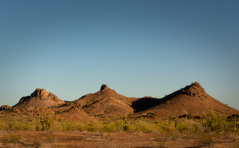
But she kept glancing east. Toward Fourth of July Butte.
Fourth of July Butte
Fourth of July Butte’s official story isn’t much of a mystery. According to local lore, it was named by a group of Tin Horns—easterners from the Agua Caliente Hot Springs resort who thought it would be “charming” to have a picnic out in the wash on Independence Day.
They packed up their gingham and parasols, took a guide who probably should’ve known better, and set out in search of authenticity. By the time the watermelon was warm and the flies took over, someone suggested naming the place for the holiday: “Let’s come back to the Fourth of July Wash next year!”
And just like that, it stuck—lazy desert naming at its finest.
I always liked the story because it amused me that Anne—who was actually born on the Fourth of July—now shared a name with a geological shrug. I told her once that the Butte was probably named after her in a past life. She didn’t dignify that with an answer.
But this time, she seemed… drawn to it. On the way home from Sundad, we pulled off and hiked a short way into the wash.
About a quarter-mile in, we found a shaded alcove at the base of the Butte. It didn’t look like much—just a rock overhang. Anne stepped forward, brushing her fingers across the stone until she found a faint depression—a small notch, easily missed. She reached into her shirt pocket and pulled out the copper token from Cooper Wash, then slipped it into the slot.
There was a soft click. Nothing dramatic—just enough to make the air feel like it shifted. She retrieved the token and slid it back into her pocket without a word.
The rock trembled. A low click echoed from within. A seam opened in the alcove wall, and a stone slab slid away with a sound like a safe being unsealed.
Inside was a dark tunnel—too straight, too precise to be natural. At the end: a chamber, circular and silent, lined in smooth stone.
…On the far wall: a mural fused into the surface. A lone figure stood atop a mountain, red boots on her feet, golden wristbands catching firelight, one arm raised toward a starburst sky. Beneath her, etched lines fanned out like water or energy. One of them clearly pointed to our location: Fourth of July Butte.
But the others… they stretched outward in all directions, connecting to nodes—clusters of shapes that mirrored the strange rock alignments we’d seen in Sundad.
Stars, spirals, and the crooked hash patterns Anne had pointed out back at the ghost town? They were all here, burned into stone long before anyone settled the area.
I looked from the wall to Anne, “Those markings at Sundad… they weren’t just decorative, were they?”
She smiled, faintly. “Nope. They’re part of the system.”
I blinked. “System?”
She tapped her bracelet, which pulsed faintly against the mural.
They’re waking up,” she said. “That’s why we found them now. You think this is the only hatch?”
Return to Sender
The mural seemed to hum in the quiet, as if it were holding its breath. Anne stepped forward, brushing her fingers across the stone until she found a faint depression just below the etched figure’s feet—a small notch, easily missed. She reached into her shirt pocket and pulled out the copper token she’d found at Cooper Wash.
No fanfare. No glowing light. She just slipped it into the slot.
There was a click—soft and precise. Then, without a sound, a section of the wall opened inward. A hidden drawer, lined in deep velvet or maybe silk, like something from a jewelry box dreamt by an archaeologist.
Inside: two shallow impressions, shaped exactly like the bracelets.
Anne studied it for a moment. Then, wordlessly, she slid the cuffs off her wrists and set them into place. They fit perfectly. The drawer paused for a beat—as if waiting for second thoughts—then slowly eased shut and vanished into the wall like it had never been there.
That’s when the rumble started. Low, deliberate. Not an emergency, exactly—more like a polite but firm “you should go now.”
“Exit protocol,” Anne muttered. “Of course.”
We scrambled up through the tunnel and out the hatch just as the chamber sealed behind us with a final, echoing thunk. The desert air hit us like a welcome slap.
Anne didn’t say much on the hike back to the car. But when we reached the RAV4, she let out a dramatic sigh, lifted the tailgate, sat under it, and started yanking at her red boots.
“These are ridiculous,” she grumbled. “Nobody talks about how much superhero footwear hurts.”
The left one came off with a pop. The right one took a little swearing.
“You’re never buying me antique jewelry again,” she said, tossing the boots into the back.
“Deal,” I said. “Unless I find a matching tiara.”
She gave me the kind of look that ends conversations and bloodlines.
Ten minutes into the drive, she was out cold—boots off, dust on her jeans, arms folded. Back to Queen Anne. Desert royalty with knee replacements and zero tolerance for nonsense.
Me? I just kept driving—the Butte behind us. The bracelets were where they belonged. And next month’s post is already writing itself.
Until next time, keep your spirits high, your wristbands polished, and your pie warm.
jw