
Drive east from Springerville on U.S. Highway 60 for an hour and forty-five minutes and you’ll be at the Karl G. Jansky Very Large Array. It’s a radio astronomy observatory with twenty-seven radio telescopes spread out across an ancient dry lake larger than New York City. You may have seen it in films, most notably Carl Sagan’s Contact staring Jodi Foster. That’s the day trip that Queen Anne and I took yesterday. It’s our third visit. We needed new T-shirts.
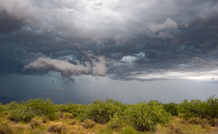
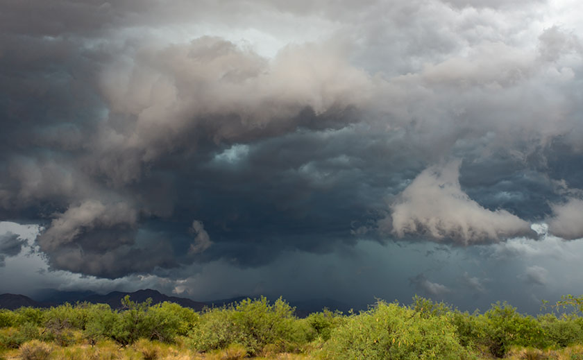
It was a perfect day for the road trip – cool, clear and sunny with puffy white clouds scattered about. U.S. 60 climbs out of Round Valley for a short stretch before reaching the high desert volcanic plains that distinguish eastern Arizona and western New Mexico. It’s covered in grass and pinion pine and changes to sage brush as you head east. The terrain is flat, but like a dinner dish. The road would rise to a lip revealing another bowl and the road was visible ten (maybe twenty) miles on the other side, dead straight ahead. “On a day and a road like this, … ” I started to say out loud. ” … you could drive forever,” Anne finished. We’ve been together far too long.
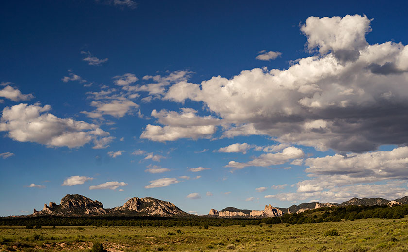
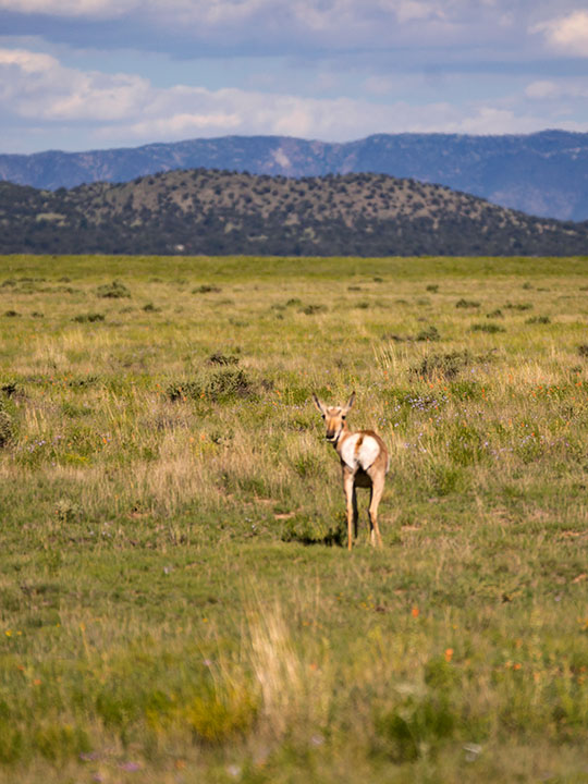
We didn’t see a lot of animals, just a smattering of cattle and a couple of horses. We did come across a small heard of elk cows with calves. They were grazing near the right side of the road, and raised their heads as Fritz passed. About an hour into the trip the road goes through a pass in the Datil Mountains. It’s a small range that separates the open spaces. The most notable thing about them was the road sign marking the Continental Divide. I had forgotten that we would cross it.
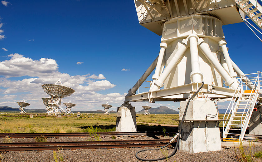
The VLA is in the basin below the Datils, and soon we arrived. The sight of all those large telescopes from the road makes you want to ease out of the throttle, but I knew the entrance was still a mile away so I left the cruise control on as we crossed over the rail road tracks on which the telescopes are moved. Finally we pulled into the entrance and headed to the visitors center.
The observatory is very visitor friendly. The center has National Park like displays explaining its mission along side some of the juicy discoveries they made. We watched their twenty-five minute film. Hardly anyone works there, it’s too remote. Instead the labs are fifty miles away in Socorro. There is a self guided tour that costs six bucks, but we got a dollar discount because we’re geezers. Guided bus tours come up from Socorro and we were lucky to run in to an astronomer waiting for a bus to arrive. He offered Anne and I a five minuet spiel then he’d answer our questions. “Have you heard from anyone yet?” I asked.
“We don’t do any SETI work at this site,” was Dale’s response and we both agreed that the movie gave a false impression on that point.
After spending a couple of hours at the VLA we packed our new T-shirts and started back. The light had ‘come in’ and I had all kinds of photo-stops to make, besides we could get some pie in Pie Town. After wasting some film we made it to Pie Town at 5:00, but all three of the cafes were closed (I really wanted some of that fine cherry pie). We continued to dally along the road and made it to the Ritz in time for sunset cocktails on our tree covered veranda. A most rewarding day indeed.
