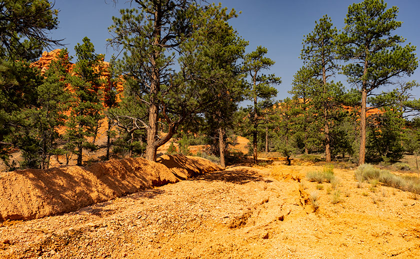
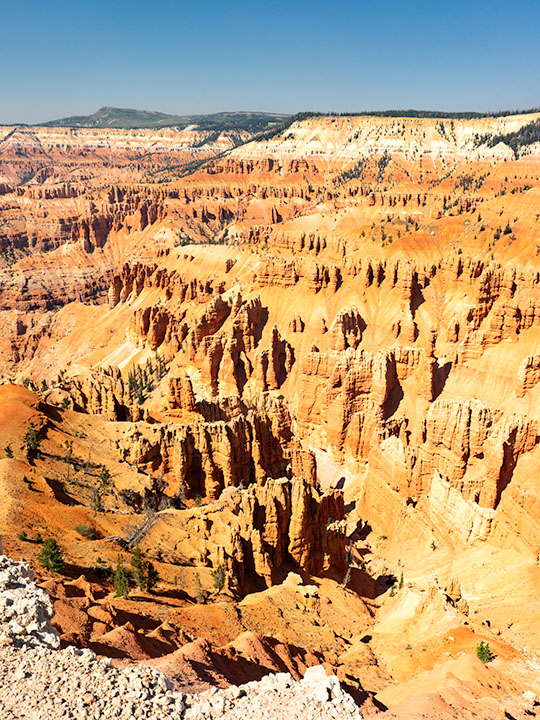
I photographed the second featured image in our Utah series on the west rim of the Paunsaugunt Plateau north of Utah SR 12. This is the plateau where Bryce Canyon is located, but this is on the opposite side. Before entering Red Canyon, there’s a dirt road that heads north to Losee Canyon (not misspelled) and the trailhead located there. In the parking lot, with a little searching, you’ll see a sign for the Arch Trail—it’s a short loop that climbs up and around the plateau’s edge. Like most trails in Utah, the Arch Trail goes up or comes down. It’s anything but level.
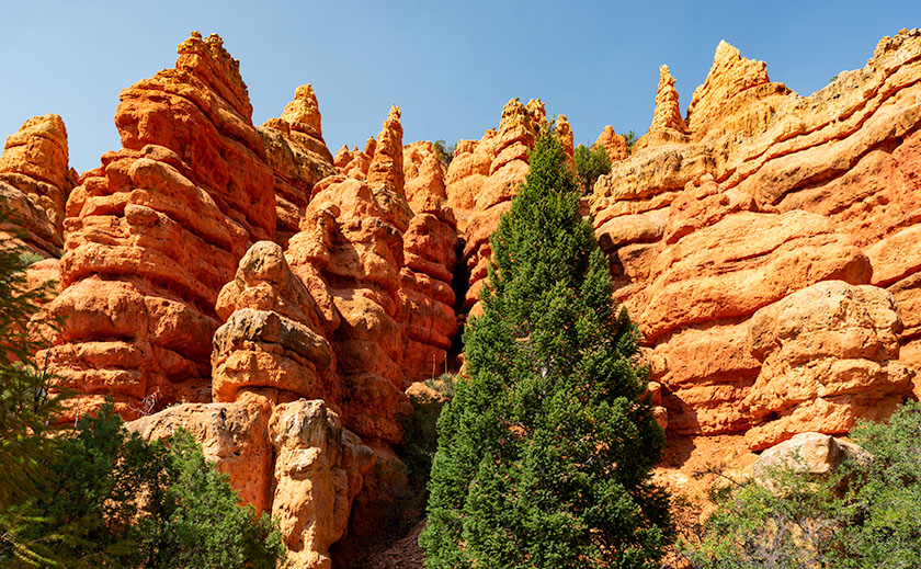
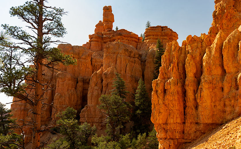
The Arch Trail wanders among interesting rock formations including a couple sets of hoodoos—like the ones in this week’s photo. If you’re lucky enough to wander off the trail at the right spot, you’ll find the arch that the trail is named for. At the summit, you’ll enjoy a great view of the Panguitch Valley and the Markagunt Plateau in the west. It’s not a well-maintained trail like you find in national parks, but it’s easy to follow once you’ve found it, and rangers built several flights of stairs in the difficult spots.
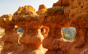
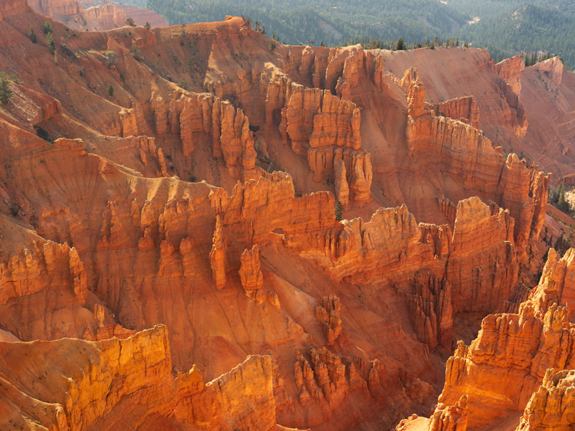
I chose this image because hoodoos always seem distant things. In this case, the trail goes right up to them. You can touch them, pose your kids in them, walk through them, and unfortunately, you can deface them with “Kilroy was here – 2018” as some people have. In this shot named Hoodoo Windows, I tried to show a feeling of intimacy with the structures. I was lucky that the light was good when I arrived at the scene—it was dinner time and the sun was on its way down.
You can see a larger version of Hoodoo Windows on its Web Page by clicking here. I hope you enjoy viewing this week’s post and come back next week when we present another image from a different Utah site.
Until next time — jw