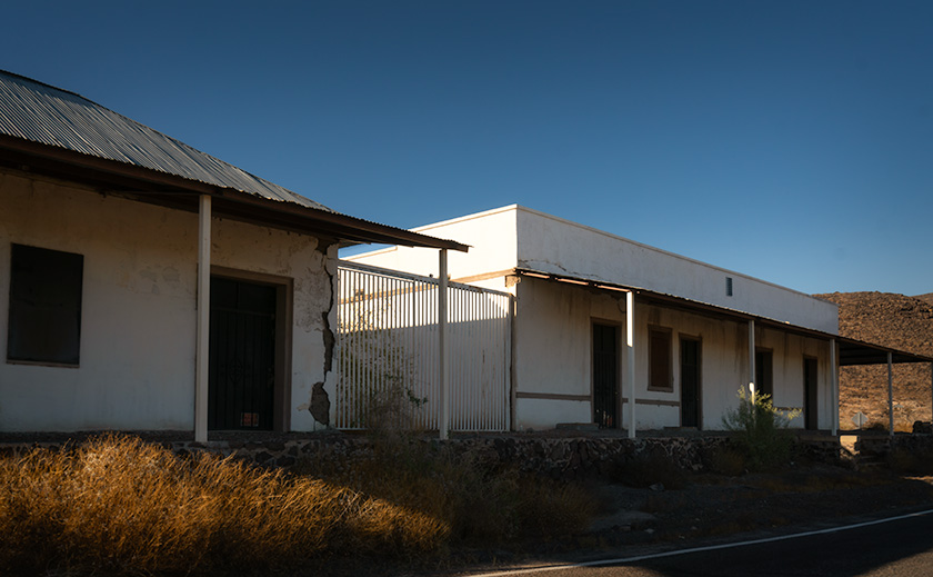
When I first met Queen Anne all those years ago—shortly after she finished planting the redwoods—she worked for Eastern Airlines and wore a t-shirt that read, “Marry me and fly free!” I fell for it. And while the days of jetting around the world on pass-rider status are long gone, her forty-plus years in the travel industry still pay off now and then. She’s on a mailing list reserved for travel professionals, and every so often, it offers what they call a fam trip—a discounted stay meant to help agents get acquainted with resorts. One of our favorite hits each spring: the Cambria Pines Lodge, perched just above our favorite beach town on California’s Central Coast. The moment it shows up in her inbox, we’re packing the car.
Fuel Calculations and the Gutless Wonder
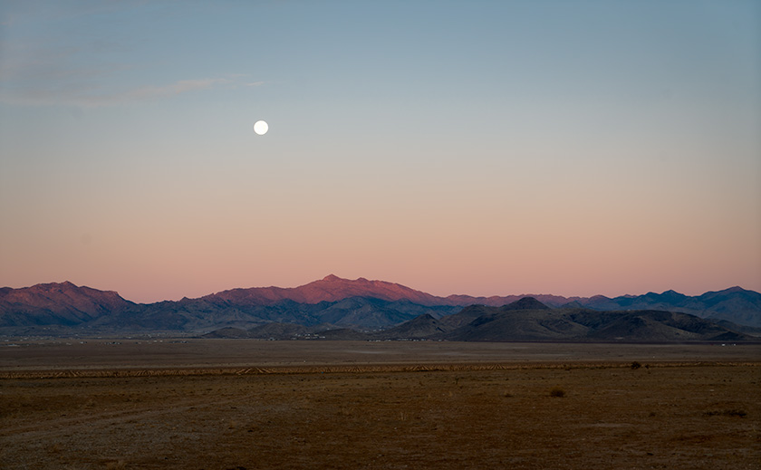
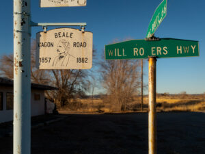
Since it’s a ten-hour drive to the coast, I like to get an early start. That way we can check in, pick up a bottle of local wine, and still make it to dinner without looking like we crawled out of a dust storm. Knowing Anne would grumble from bed to passenger seat, I set the alarm for 5:30. Once she’s strapped in with her seatbelt, I know she won’t wake up again until Barstow. So, under the cover of darkness, we pointed her Corolla west, dodging the Gordian Knot known as Los Angeles.
Although the Turd’s gas mileage isn’t bad for an SUV, we always take the Gutless Wonder for California runs. It’s lighter on fuel and easier on the wallet when you hit those dreaded Golden State pump prices. Typically, I top off the tank before crossing the Colorado, but this time I got cocky. I thought, “Maybe, just maybe, we can make it to Barstow on one tank.” We came up 60 miles short, muscling through headwinds fierce enough to stall a freight train.
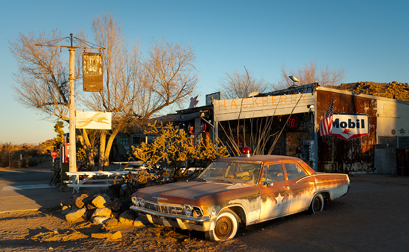
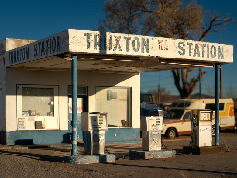
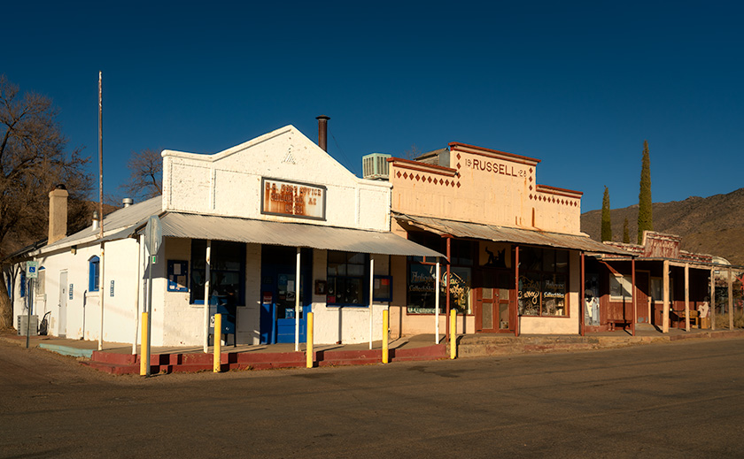
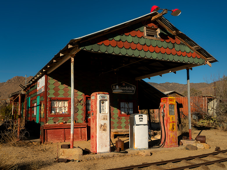
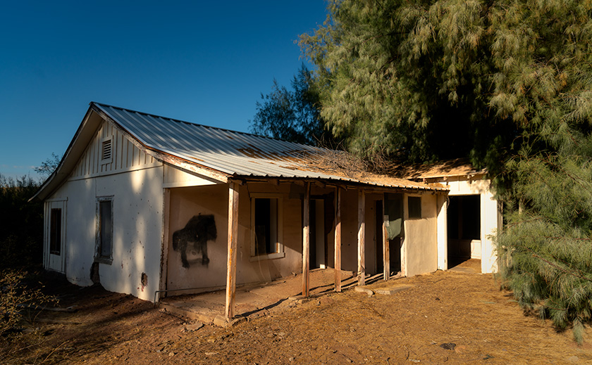
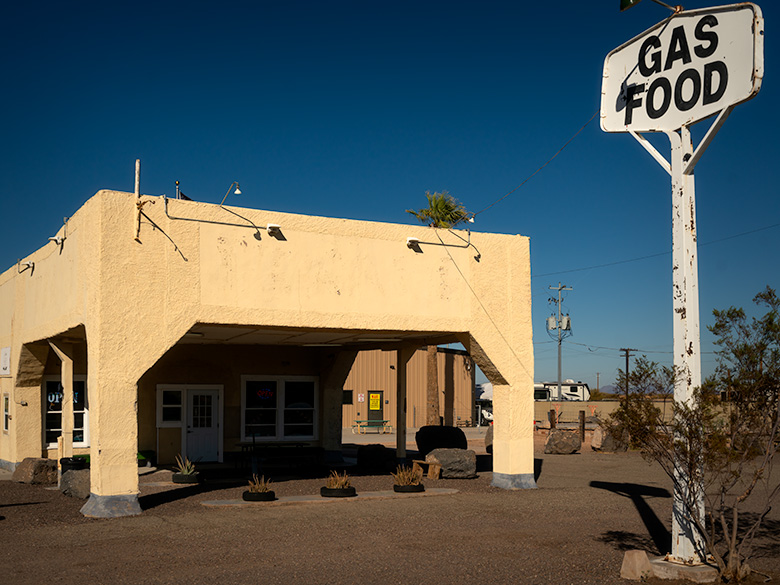
That’s how we ended up at the Route 66 café in Ludlow, ordering a decent-enough breakfast while I choked down the $6-a-gallon Chevron fill-up.
We were five minutes early pulling into the lodge’s parking lot and checked into our little cottage for the next two nights. It’s a nicely decorated place with neither a heater nor air conditioning—because in Cambria, you rarely need either. Heat, if you want it, comes from a thermostat-controlled fireplace. Now that’s ambiance. If that flickering blue flame doesn’t scream romance, I don’t know what does.
Our package included a generous room discount, breakfast, and one dinner at the lodge’s restaurant—including a bottle of house wine. We always save that dinner for our second night, once the road buzz wears off and we feel more civilized.
Buffet by Name, Rubber by Nature
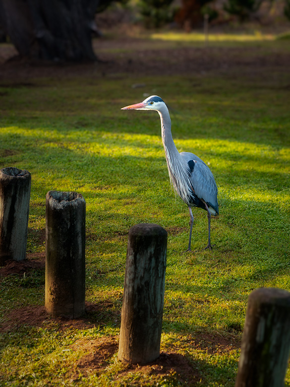
Over the years, we’ve developed a good working routine for these photo holidays. I get up before the crack of dawn, fumbling around in the dark trying not to wake her—don’t poke a snoring bear—and sneak out to shoot pictures. When I return, she’s up and almost ready to hold court. Then we’re off for breakfast and a bit of sightseeing.
In Romeo and Juliet, Shakespeare wrote:
“What’s in a name? That which we call a rose by any other name would smell as sweet.”
If you read between the iambs, this is his way of telling Juliet, “Hey, you’re not a bad-looking chick—for a Montague.”
I think he was wrong, though. Some names carry powerful magic. Take the word buffet. No matter how classy the restaurant tries to be, the moment you slap breakfast in front of buffet, the spell kicks in: the eggs turn to rubber, the potatoes are somehow both overcooked and undercooked, the sausage loses all flavor, and the butter comes in those annoying foil wrappers that belong in a church basement potluck.
Personally, I’d rather skip it and hit a Denny’s.
“But they’re free,” Anne argues.
“They’re awful,” I counter.
“But they’re free.”
Why can’t someone offer an all-you-can-eat ahi tuna Benedict, savory crepes, or chicken and waffles? I’m convinced a dedicated S.E. Reykoff truck delivers these sad trays to every lodge, hotel, and conference center in the country. You could blindfold the cook, and it’d taste the same.
Chardonnay, Terroir, and ChatGPT’s Finest Hour
Longtime readers know there’s a mandatory stop at a vineyard anytime we’re in California. But thanks to the skyrocketing prices—and the new ritual of reservation-only tastings—we’ve had to revise our modus operandi. Gone are the days of casual roadside discoveries. Now we pick one winery per trip, and we make it count.
This time, I wanted the best return on our investment. So I consulted my new favorite research tool, ChatGPT, which is basically Google with an opinion. I asked it to recommend a vineyard known for its Chardonnays. It—she? he? whatever—suggested a spot way out in Edna Valley called Chamisal Vineyards. It’s a small, private operation tucked so deep into the hills it feels like you need a secret handshake to find the gate.
The estate sits on a weird-shaped plot carved into the ancient talus slopes of the nearby mountains. It’s where geology, botany, and Julia Child all come together. They analyzed their soils and systematically planted each grape varietal to match the dirt. That little ol’ winemaker (kids, ask your grandmother) is probably rolling in his grave with envy.
The tasting bar was handled by two charming young women who knew their wines, poured generously, and smiled like they’d just heard your best joke—even if you hadn’t said anything funny yet.
They poured two Chardonnays for us. First up was their 2023 Estate Bottled, young and vibrant enough to sell me on the first sip—clean, balanced, and already showing promise. But then came the 2021 Califa, and that’s when things got serious. Slightly darker in color with a high, elegant note of lemon reminded me of the wines from the Montrachet region in Bordeaux. That same scar-on-the-memory intensity, born from the soil rather than the barrel.
Those Chardonnays didn’t just speak—they sang. Full-bodied, mineral-kissed, and tuned to that elusive oaky/buttery harmony we’ve been hunting for years. The Califa didn’t just show up—it owned the room like a wine snob with Bourdain’s swagger. We signed up for the wine club on the spot. That’s a commitment—and a compliment.
Scallops, Soap Operas, and Foggy Submarine Surveillance
After our tasting, we raced back to Cambria through the weekday maze for a much-needed nap before dinner. That meal? Another small win. Anne went with the prime rib special—along with every other silver-haired guest in the room—while I rolled the dice on scallops. And they nailed it—the chef’s back in my good graces, at least until breakfast.
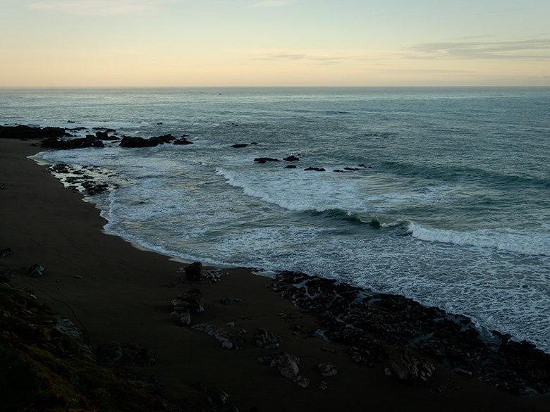
With the evening still young, we skipped our usual The Big Bang Theory reruns and drove up the coast to San Simeon. I had big plans—long exposures and dramatic shots of the lighthouse beam slicing through the night.
Instead, I discovered three things:
1. You need more than ambition to pull off night photography.
2. It helps if your tripod isn’t locked in the garage.
3. Sometimes, the best view is the one you don’t try to capture.
So we stayed in the car and watched as the last light faded below the horizon. The windows fogged up a little—not from the ocean air, but from… let’s say, warm conversation. Maybe we saw a whale. Maybe a periscope. Perhaps nothing at all.
But it felt like everything.
Danish Waffles, Rainy Goodbyes, and Strategic Sugar Spikes
The following day, we woke to rain. Cambria seemed just as sad as we were to see us go. After another breakfast from Groundhog Day, we packed up and hit the road.
Rather than endure another ten-hour drive home, we decided to make the return trip a two-day trip. We had one more critical stop to make.
In California, two bakeries qualify as mandatory detours anytime we’re within 200 miles. I wrote about the first—Schat’s in Bishop—last year, and its unforgettable Sheepherder’s Bread. The second is Birkholm’s in Solvang, three hours down the coast. They make a pastry straight from the Devil himself: raspberry and cream layered between two sweet, crispy filo crust slabs. I’ve always called them Danish Waffles, but they were labeled French Waffles in the display case. Whatever the nationality, they’re addictive and dangerous. If you eat one in the car, you’ll vacuum up the evidence for weeks.
Being the seasoned pros that we are, we stayed civilized. We sat down, each had one with coffee, and then bought a variety of goodies to test how much would actually make it back to Congress. (Spoiler: not much.) With my blood sugar in orbit, we piled into the car and set out to find a motel before tackling the long, lonely stretch across the Mojave.
Come for the Photos, Stay for the Pastry Talk
Thanks for joining us on this month’s road trip. We hope you had as much fun reading it as we did living it—minus the rubber eggs and $6 gas, of course.
If you’d like to see larger versions of the photos (without crumbs on them), head over to the website: 👉 www.jimwitkowski.com
Do you have thoughts, questions, or a favorite California bakery we haven’t visited yet? We’d love to hear from you. Drop us a comment below—make it quick. The window closes after five days (we must keep the trolls in their caves).
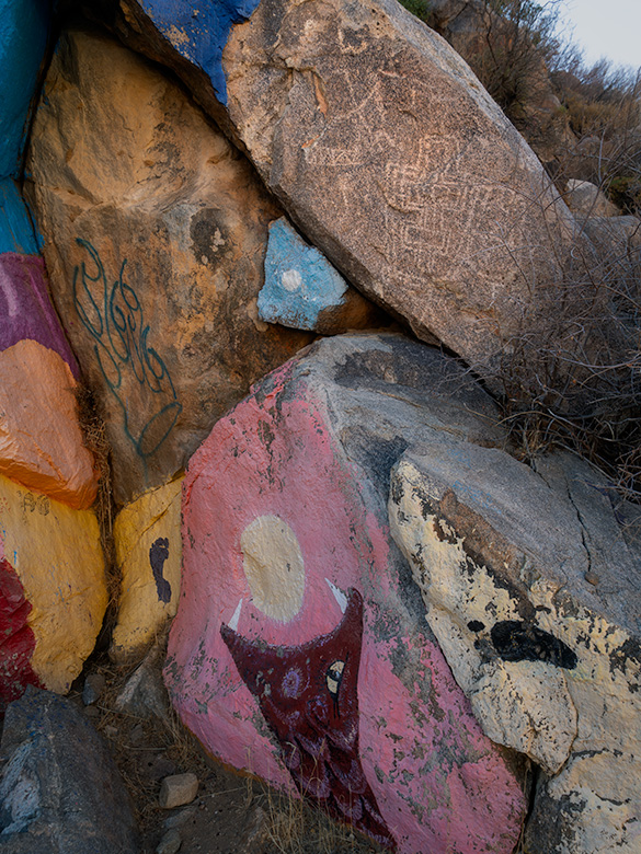
Next month, the Cambria Pines Lodge story gets weird. Let’s say it involves a mushroom garden, a misplaced key, and Queen Anne channeling Agatha Christie.
Keep your humor dry, your spirits high, and your pastries hidden from the Queen.
jw